UAV Drone Technology & Aerial Analytics تكنولوجيا طائرات الدرون والتحليل الجوي
Integrating advanced drone systems with computer vision and custom software to deliver thermographic inspections, topography, and crop monitoring. دمج أنظمة طائرات بدون طيار (UAV) المتطورة مع الرؤية الحاسوبية والذكاء الاصطناعي لإجراء فحوصات حرارية، مسح طبوغرافي، ومراقبة المحاصيل بدقة.
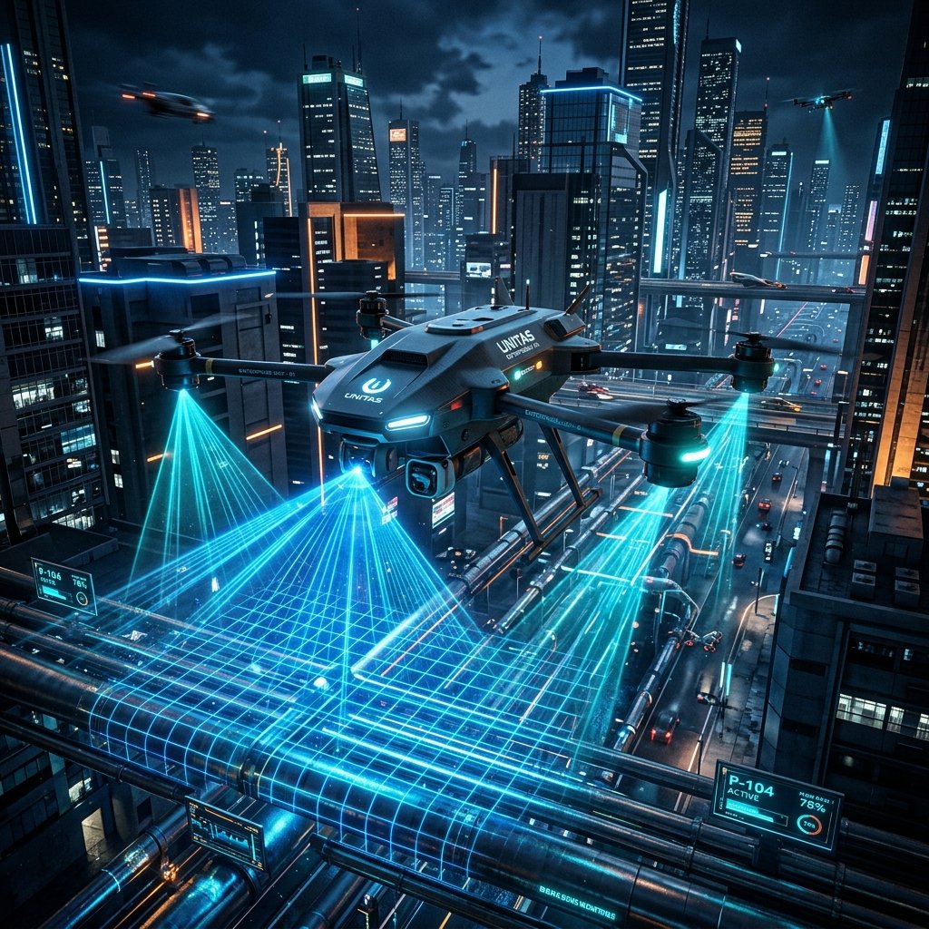
Pipeline Inspectionالفحص الجوي للأنابيب والمنشآت
Autonomous thermographic scan workflows for high-value pipelines, locating leaks and structural anomalies via telemetry data.أتمتة الفحص الحراري الجوي المستقل للأنابيب والمنشآت الحيوية، وتحديد تسريبات الطاقة والغاز والخلل الهيكلي لحظياً.
Topography & Mappingالتصوير المساحي والخرائط
High-resolution photogrammetry mapping, building point clouds and orthomosaics for construction progress audits.تطوير خرائط طبوغرافية جوية فائقة الدقة، بناء السحب النقطية ونماذج التضاريس الجغرافية لمتابعة وتدقيق مراحل البناء والتشييد.
Agricultural Sprayingالرش الزراعي ومراقبة المحاصيل
Deploying automated Agritech UAV flights to distribute fertilizers, audit crop health indices (NDVI), and optimize yields.إطلاق طلعات درون زراعية مؤتمتة لتوزيع الأسمدة، تحليل مؤشرات صحة المحاصيل والنباتات (NDVI)، وتطوير كميات الإنتاج.